Take care out there!
Thanks for using these resources to plan ahead and be prepared for your trip to the Columbia River Gorge.
TRAVEL INFO
- columbiagorgetomthood.com
- hood-gorge.com
- hoodriver.org
- mtadamschamber.com
- thedalleschamber.com
- skamania.org
- westcolumbiachamber.com
- traveloregon.com
ROAD CONDITIONS
- Oregon – tripcheck.org
- Washington – wsdot.com/traffic
WEATHER CONDITIONS
TRIP REPORTS
- Columbia River Gorge National Scenic Area Hiking Guide
- Friends of the Columbia Gorge Find a Hike Tool
- Oregon Hikers Trip Reports
TRAIL RECREATION FEES
Recreation fees help pay for trail maintenance and amenities, such as restrooms and picnic areas, at trailheads. Go here to find a comprehensive list of the three types of passes and where they are required.
SCENIC AREA INFO

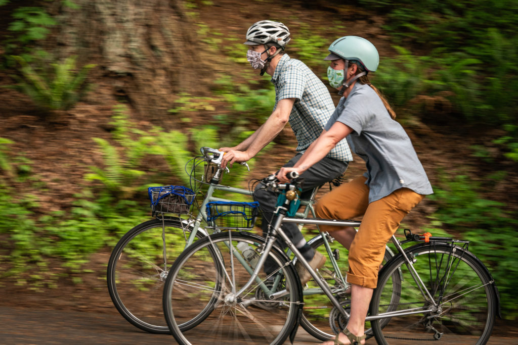
GO BY BIKE
The Historic Columbia River Highway and State Trail is the best biking route in the Gorge, but much of the trail is closed due to the Eagle Creek Fire closures. The best opportunity for bicycling is between Hood River and The Dalles.
TRANSIT INFO
Gorge Transit – The Gorge has a bus system with coordinated routes to get around the region. Visit www.GorgeTransit.com for schedules or www.GorgePass.com for trip ideas.
Gorge Pass – Gorge Transit offers an annual Gorge Pass, which gets you to and from Portland, Multnomah Falls and around the Gorge. The $40 pass includes unlimited use of the Columbia Gorge Express, all Gorge fixed-route buses, and CAT’s Gorge-to-Mountain ski bus .
Columbia Gorge Express – From Portland’s Gateway Transit Center to Multnomah Falls, Cascade Locks and Hood River year-round. Columbia Gorge Express buses are equipped with bicycle racks. More info.
ACCESSIBILITY
AccessibleGorge.com is a website with information about many of the restaurants, museums and trailheads in the region.
You can also find several videos here describing the accessibility of several areas you can reach by transit.
HIKING INFO
EMERGENCIES
In the case of an emergency, contact 911. Explain the nature of your emergency and your location. They will dispatch the appropriate authorities and/or volunteers to assist with search and rescue.
ITINERARIES
- Car-Free Gorge Itineraries
- Travel Oregon’s bike itineraries.
- Take a guided tour with MountNbarrel, SolRides or Portland Pedal Bike Tours.
WILDFIRE PREVENTION & FAQs
PHOTOGRAPHY TIPS
10 ESSENTIALS
- Appropriate footwear. Wear boots or tennis shoes. Do not wear flip-flops or shoes with heels.
- Printed map and compass. We recommend the National Geographic Columbia River Gorge trails map.
- Extra water and chlorine dioxide tablets or other method for purifying water.
- Extra food. Energy bars and trail mix are good sources of protein and calories.
- Rain and wind gear, and extra clothing. Hypothermia is the #1 killer of outdoor enthusiasts. Always carry a windproof layer and a rain jacket (even in the summertime).
Fast-drying, wicking fabrics such as polyester or wool are best. Avoid cotton. - Emergency items: Firestarter and matches, headlamp, and a whistle. A headlamp will come in handy if you are trying to read your map or follow a trail at dusk. The whistle is a good tool for signaling distress (use 3 short bursts). Refrain from starting a fire unless you need it for warmth, which might be the case if you are hurt and can’t walk.
- First aid kit. Many outdoor stores sell compact hiker’s first-aid kits. If you hike often, consider taking a first-aid class.
- Knife or multi-purpose tool.
- Sunscreen, a sun hat and sunglasses. These items will help you avoid sunburn.
- Backpack. A comfortable pack will help you carry all the essentials, as well as litter you might find along the trail.+If you’re hiking with dogs, please remember to pack a leash and plastic bags for your dog’s waste. Sources: americanhiking.org, gorgefriends.org/essentials BEFORE heading out, keep these additional tips in mind just in case you do get lost or injured.
Some additional things to keep in mind:
- If going on a long hike, carry an emergency shelter and/or emergency blanket.
- If you forget a map and compass, take a photo of the map posted at most trailheads.
- Cell service in the Gorge is spotty. If you download maps onto your phone, don’t plan to rely solely on your phone for navigation.
- If you get lost or injure yourself, call 911. If the injured person can’t move, send someone for help. Depending upon your location you may be able to get cell service by moving up or down the trail or up or down one of the geographical features close to you or hiking out to a trailhead.
Ready, Set, GOrge! is an initiative aimed at improving the visitor experience in the Columbia River Gorge National Scenic Area. Before you visit Multnomah Falls and the Columbia River Gorge Scenic Area, check out readysetgorge.com – an easy way to learn about hiking and biking trails, learn about trail closures, and be better prepared. It’s a collaboration between the U.S. Forest Service, Friends of the Columbia Gorge, Travel Oregon, Oregon Department of Transportation and Columbia Gorge Tourism Alliance.

